About NIEP
Organizational Chart
Management
Information of public interest
Integrity
Strategy and Plan for gender equality
Agreements
Wealth statements and interests
Contact
Laboratory of Seismology and Lithosphere Structure
Laboratory of National Seismic Network
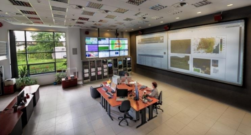
Laboratory of National Data Center
Laboratory of Engineering Seismology
Laboratory of Applied Geophysics, Prevention and Education
International Projects Underway
National Projects Underway
International Completed Projects
National Completed Projects
NUCLEU program
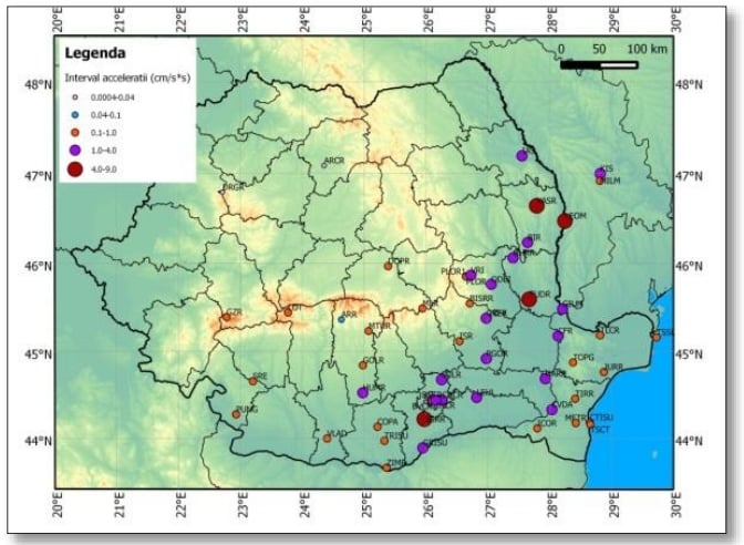
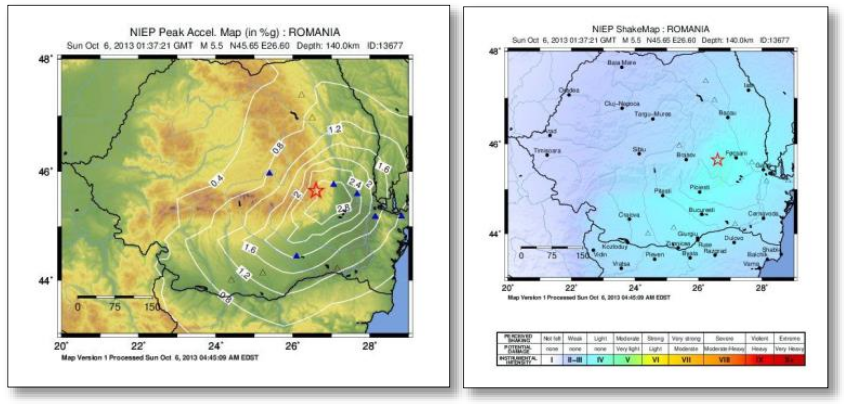
SHAKEMAP
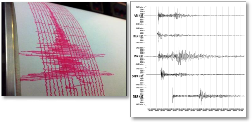
SEISMOGRAM
ROMPLUS CATALOG
DOWNLOAD ROMPLUS FILE
SPECTRAL DENSITIES
MOMENT TENSOR
MECHANISMS
Rapid earthquake early warning system (REWS)
SEISMIC RECEPTOR
Seismic monitoring of structures
SHAKEMAP
SEISDARO
NETWORK RISK
3ECEES Proceedings
Full list of publications
Publication of books
NIEP - 25 years after its establishment
Careers
Announces
Acquisitions
©2024 INFP